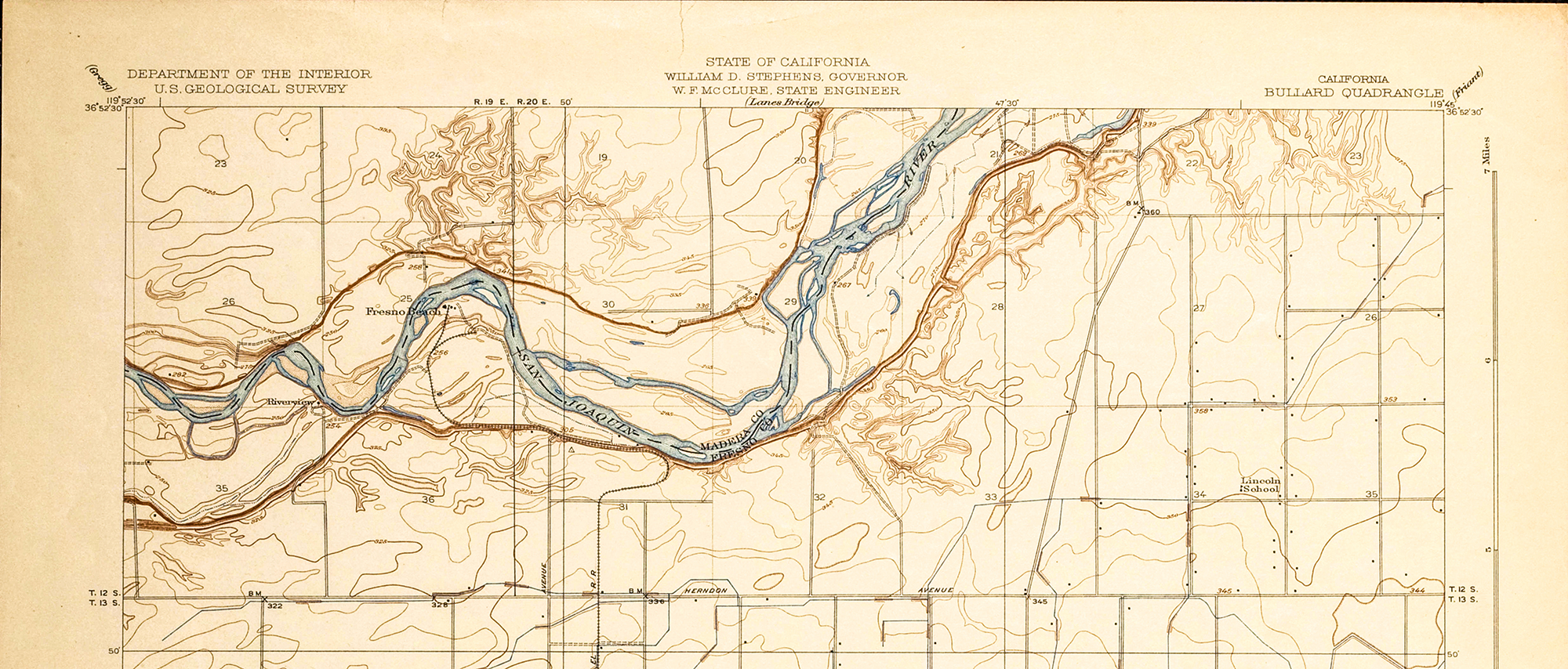
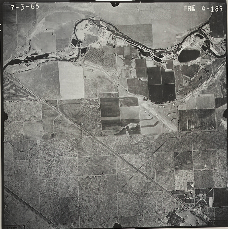
Staff at Fresno State’s Madden Library recently partnered with Cal Poly San Luis Obispo’s Kennedy Library for a pilot aerial imagery digitization project to strengthen maps and aerial imagery collections, discoverability, and access across CSU campuses.
“In general, maps and aerial photographs are not easily discoverable by potential users and can require extensive assistance from library personnel to identify and access,” said Fresno’s project members Carol Doyle and David Drexler, and Patrick Newell, who was recently named Dean of CSU Chico’s Meriam Library.

Developing MALT
To address the growing need for accessible aerial images, the group used a wide-format scanner and vacuum wall to photograph delicate images. Project members then digitized thousands of aerial images spanning decades of historic development in the Central Valley. After this initial processing, Fresno State developed the Map and Aerial Locator Tool, or MALT, a map interface able to identify aerial images by year for a given area.
“We had long dreamed of an online, end-user accessible, interactive, map-based locator tool that would facilitate searching for maps and aerial photographs corresponding to a specific user-defined location: one search finding specific location matches across different flights, individual maps or maps series, and collections,” the group added.
Accelerating the process
Cal Poly’s Kennedy Library staff and faculty contributed to MALT’s map-based index by devising novel, time-saving ways to geolocate images in MALT, and the team is currently exploring automated approaches to rapidly geolocate bulk sets of scanned imagery.
Cal Poly’s unique, indexed, and suitable aerial image sets from various years were another reason why the campus was a perfect partner for the project, according to Russ White, Kennedy Library Numeric and Spatial Data Specialist.
“Fresno has the hardware and the expertise to do the scanning, so our role revolved around providing the content and methodology for streamlining this project,” White said.
Expanding the project
By combining digitization capacity, new content, and best practices, Fresno and Cal Poly are motivated to expand this successful pilot to content held in Cal Poly’s Special Collections and Archives, regional local history partners, other CSU libraries, and other organizations with historical images.
“The more collections and collaborators added, the more useful the tools will be. We have spoken to University of California libraries, public libraries, government agencies, and historical societies about the project and are interested in furthering those conversations,” Fresno State said.
MALT as a model
Ultimately, the team believes this proof-of-concept project can serve as a model for other libraries and agencies to identify, process, and provide access to historical maps and aerial imagery not currently available for web mapping and research.
“Map collections that digitize and share maps online have a large number of overlapping, common needs,” the Fresno State group explained.
Beyond the project
In addition to creating a platform and method for other organizations, this ongoing project aims to develop MALT metadata for eventual inclusion in broader catalogues and searches, such as Open Geoportal.
“I hope to see MALT as something that can eventually be integrated into a larger catalogue or group,” said Jeanine Scaramozzino, Data Services Librarian and a project leader at Cal Poly. “Joining forces and working cooperatively is not always easy to do but I think this is a good example of how CSU campuses can work together.”